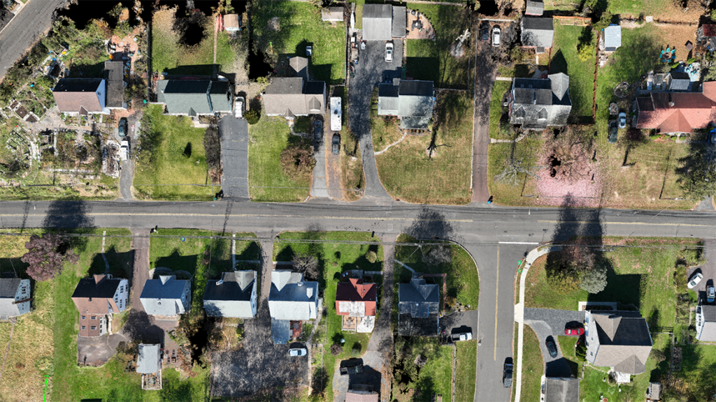
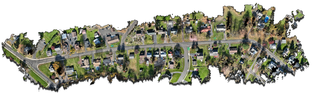
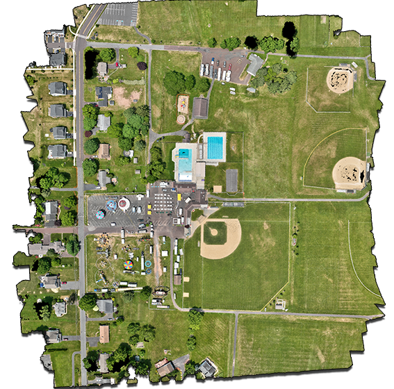
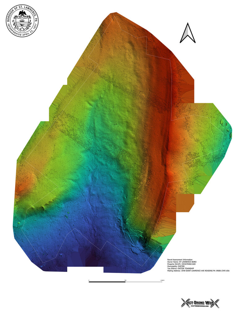
Orthomosaic Maps
- Drone equipped with GPS & RTK takes hundreds of photos of the area to be surveyed. That data is processed against ground control points that are placed around survey area to increase accuracy. Data is then compiled and rendered into snapshot with very precise GPS coordinates of the entire map surface.
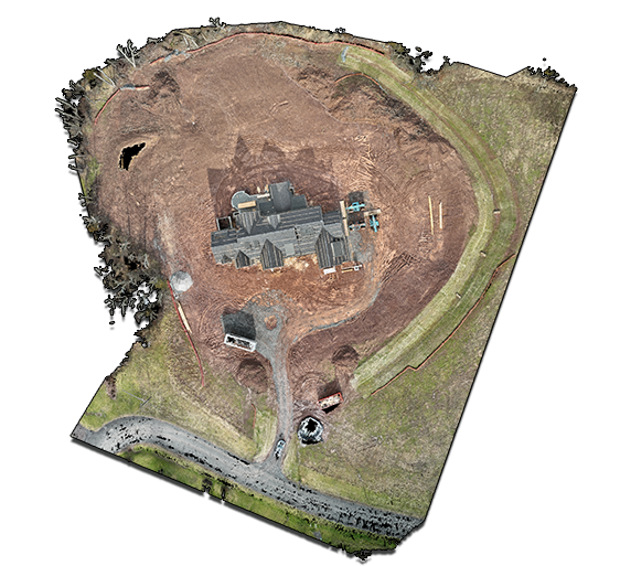
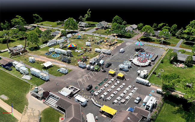
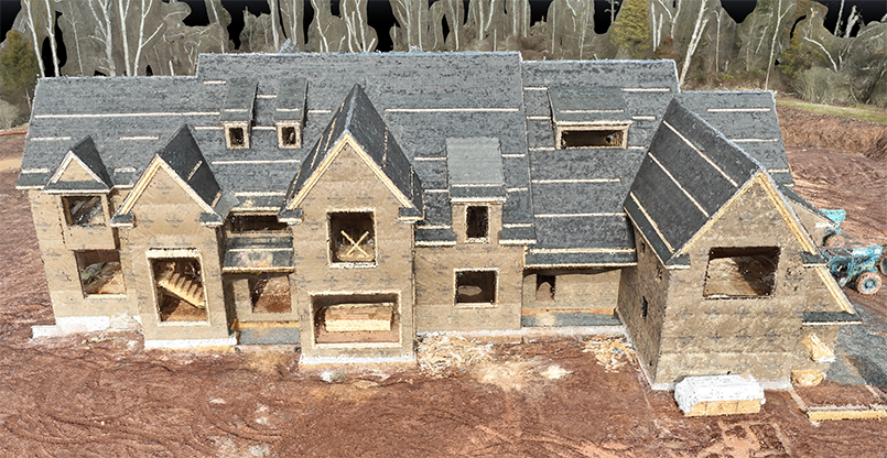
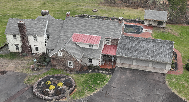
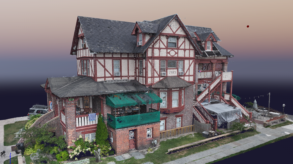
3D Modeling
- Drone equipped with GPS & RTK takes hundreds of photos of the object to be rendered from above and around. That data is processed against ground control points that are placed around object to increase accuracy. Data is then compiled and rendered with very precise GPS coordinates of the millions of points that make up the object.
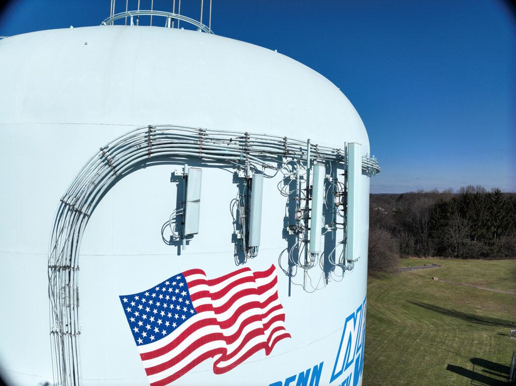
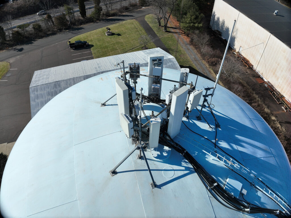
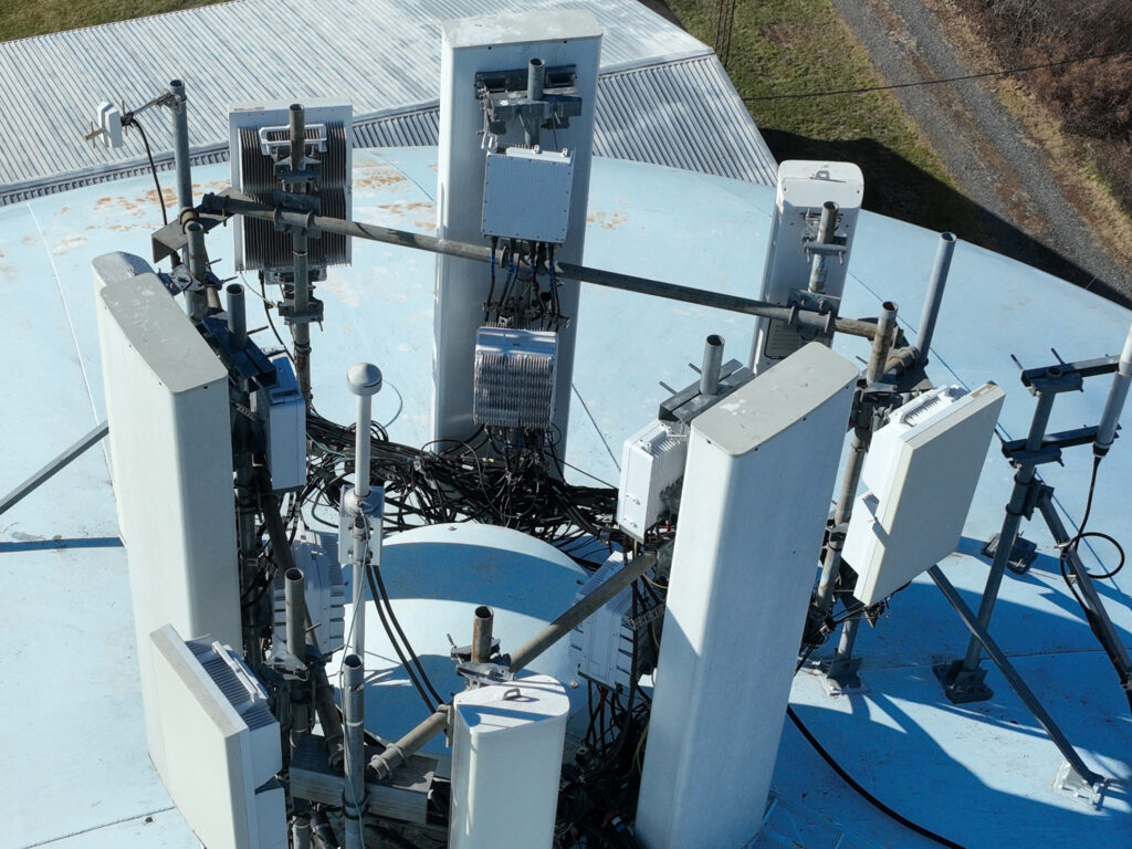
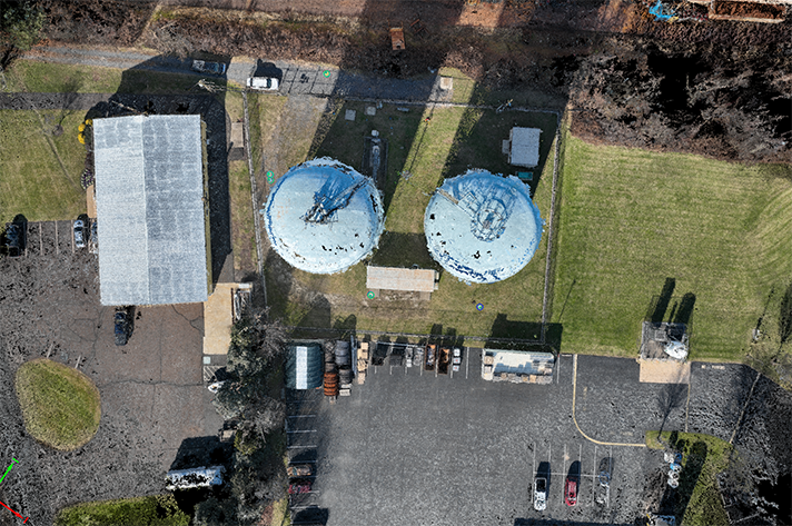
Inspection Services
- Drone with high end sensor will take several 4k video loops of the object to be inspected.
- Drone with high end sensor will orbit the object taking several high resolution images. These passes will be at several altitudes to insure proper coverage of the object that needs inspection.